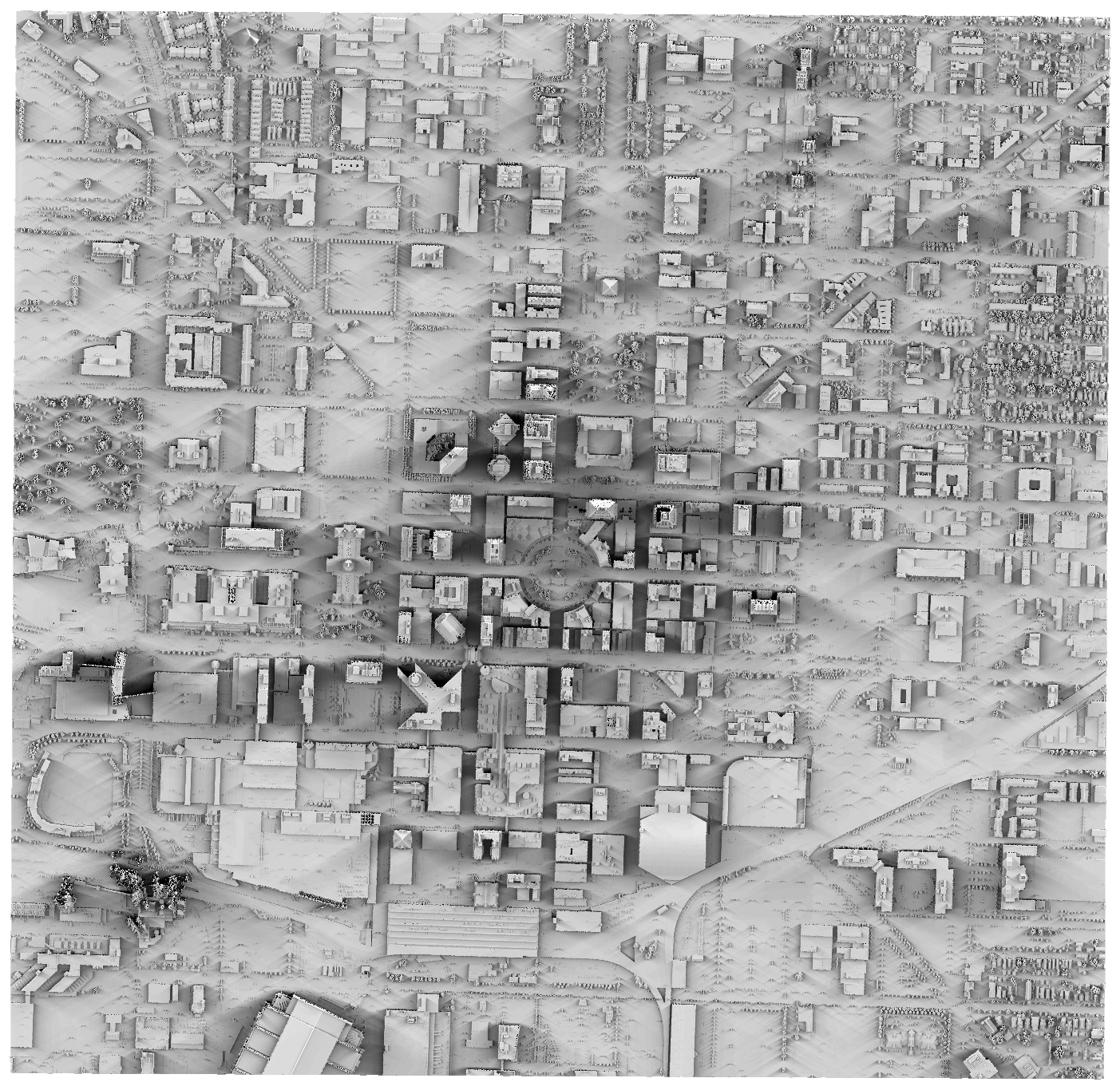
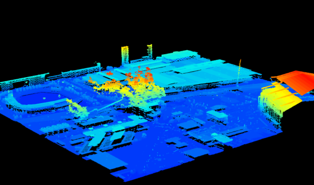
Indiana isn't known for having the most interesting topographical features, but it does have excellent elevation data available for download via opentopography.org. There, you can download either the raw point cloud data collected via LiDAR, or the bare earth elevation models that have been calculated from the point cloud data. To calculate the shadows of buildings in Indianapolis, I selected point cloud data for Indianapolis' Mile Square (between North, East, South, and West streets).
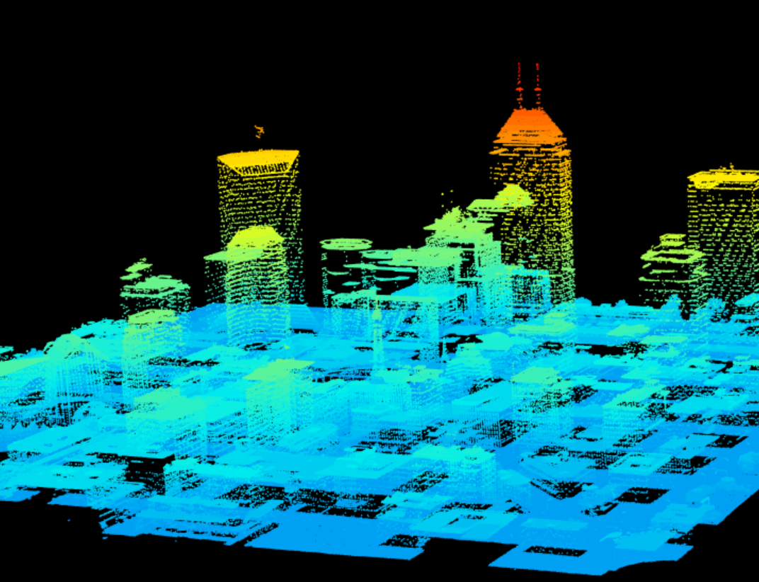
I used R's lidR package to calculate a digital surface model (DSM), which captures the elevation of buildings, trees, and other features.
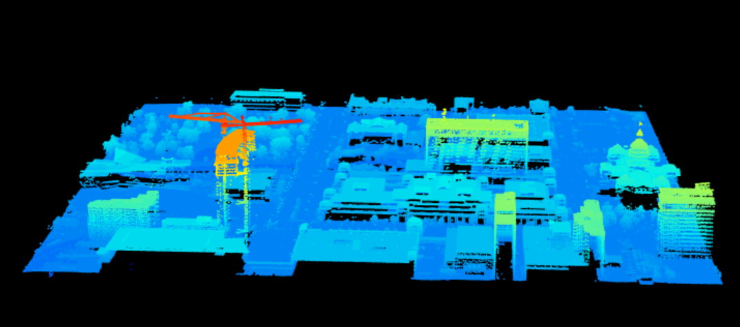
R's suncalc package gives the position of the sun on a given time and location. Using this along with the new rayshader package, I calculate the shadows cast on the DSM for evey 15 minutes between nautical dawn and nautical dusk. The following animation shows the model from the north of the city.
There are two anomalies in the elevation model. The first is that the LiDAR data captured two large cranes during the construction of the JW Marriott building. In the elevation model, these will appear as if they are solid walls, creating shadows that wouldn't exist in reality.
The second problem is that the LiDAR captured smoke from the Perry K. Generating Station smokestacks. Again, this will cause shadows that might not actually exist.
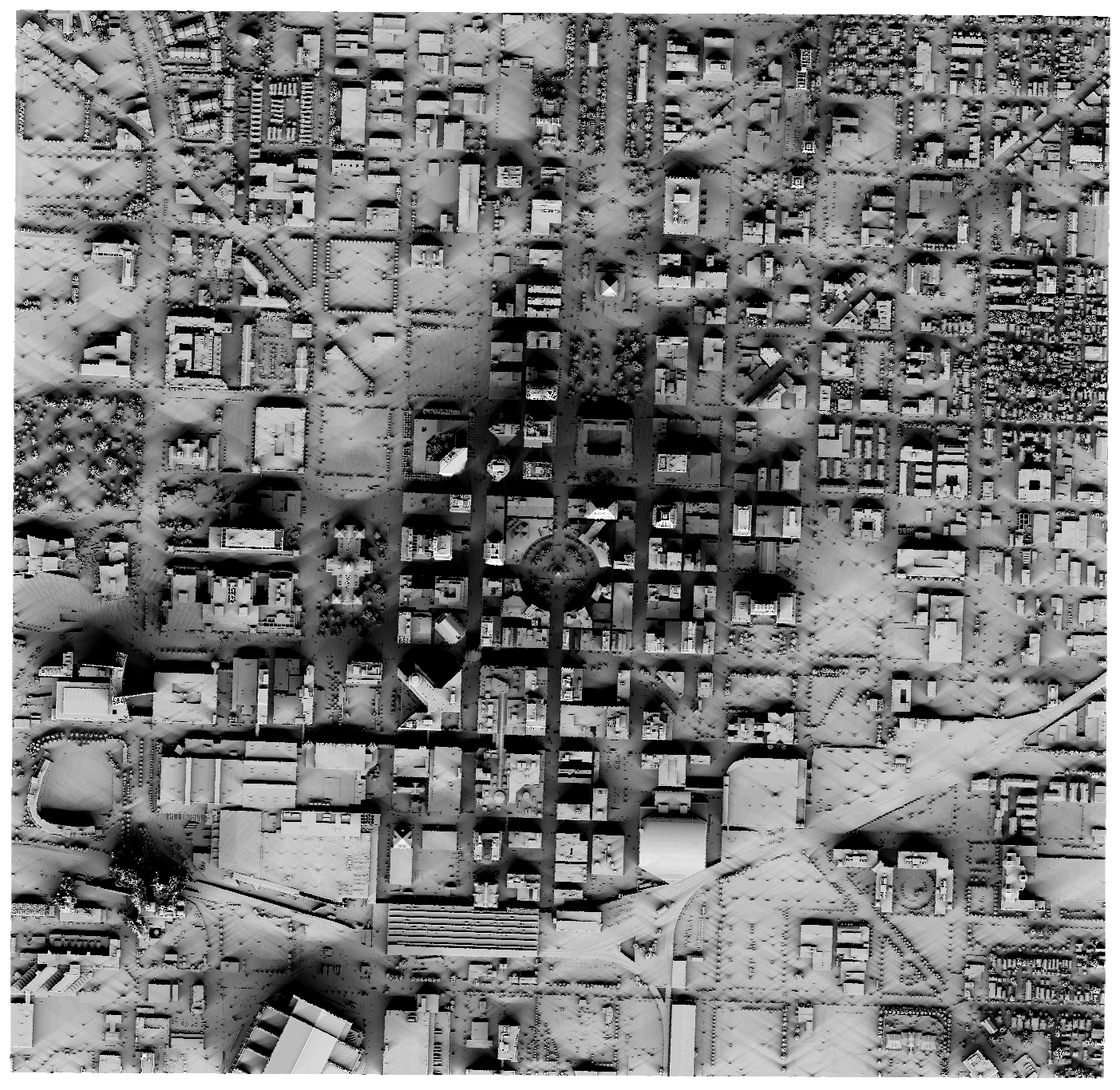
This animation shows only the shadows calculated by the ray tracing method (using the ray_shade function). This ignores ambient or reflected light.
Averaging over every frame in this sequence gives a representation of the shadiest spots in downtown Indianapolis.